
Watertown ZIP Code Directory
Two verified postal identities matter most in Watertown records. Watertown uses 06795, while Oakville uses 06779. Oakville is a village and postal place within the Town of Watertown, not a separate municipality. That fact prevents a common false negative: an accurate Oakville mailing label can still point to a Watertown parcel, town filing, library branch, or utility record.
| ZIP | Postal area | Post office | Municipal note |
|---|---|---|---|
| 06795 | Primary Watertown postal place | Watertown Post Office, 30 Woodruff Avenue | Town Hall and main library use this ZIP |
| 06779 | Oakville postal place | Oakville Post Office, 322 Main Street | Oakville remains within Watertown |
The official examples establish the postal split, not every street assigned to either code. Town Hall at 61 Echo Lake Road and Watertown Library at 470 Main Street use 06795. The Oakville Library branch at 55 Davis Street and the Water and Sewer office at 747 French Street use 06779. An individual delivery address still needs USPS validation because no verified street-by-street boundary table was found.
The two-code layout is simple only at the postal-place level. Records can store a street under the assessor's standard spelling, a person's mailing address outside town, or an old Oakville label from a newspaper. Copy each value as shown and note which office produced it. When two sources disagree, the parcel's MBL or Unique ID is a better bridge than assuming one ZIP label must be wrong. For mail, use the current USPS result; for town jurisdiction, use the official parcel and municipal records.
Oakville Changes Watertown ZIP Searches
The Oakville label is the defining ZIP code quirk in Watertown. Searching only “Watertown 06795” can miss a record that is geographically correct but indexed under “Oakville 06779.” The reverse can also happen when a town office uses Watertown's main mailing code for a record tied to an Oakville street. Search both postal labels while keeping Watertown fixed as the municipality.
Check the USPS Watertown location source shown in the image before relying on a postal code.
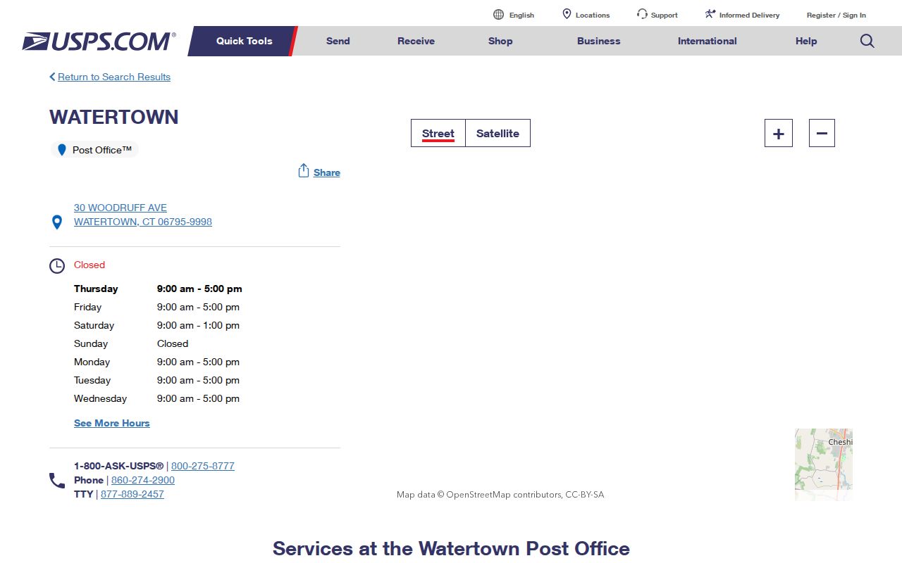
The Postal Service screen confirms a delivery location. It does not establish a parcel boundary, voter district, or service-zone line.
This distinction also matters in older sources. A regional Waterbury directory, an Oakville newspaper reference, or a shortened road name may not match the current postal form. Preserve the wording printed in the old source. Then compare it with the assessor street list, parcel card, or deed description before modernizing the address.
Note: No official Watertown ZIP split date or realignment history was verified, so do not assign a change year from a third-party map.
Search Watertown Residents by ZIP
Finding a person within one ZIP takes more than a postal filter. USPS validates the mailing form. The Watertown assessor then searches a parcel by location number, street, unit, owner, MBL, or Unique ID. The assessor has no ZIP field. Connecticut's voter lookup uses town, name, and full date of birth rather than ZIP. The inspected eLicense portal does accept ZIP, but it returns credential records, not a complete list of residents.
- Validate the delivery address with USPS. Test Watertown 06795 and Oakville 06779 when the postal city is uncertain.
- Search the Watertown assessor by street and number, MBL, or Unique ID. Record the situs and mailing labels separately.
- Check GIS for parcel or service context, but do not treat those map layers as postal boundaries.
- Use a state portal only for its stated purpose. Voter searches use the town and personal inputs; eLicense can use ZIP for credential addresses.
- Move to the Watertown streets lookup once the correct street is known.
This workflow makes the ZIP code directory a routing tool, not an invented resident roll. It also preserves the difference between an owner's mailing address and the physical parcel location. Those two fields can carry different towns or ZIPs without either one being an error.
Watertown ZIP and Parcel Fields
The Watertown property search has useful address controls but no ZIP box. Its Property Search and Sales Search tabs answer parcel questions with more exact keys. A search by street can show MBL, Unique ID, owner, location, property use, and parcel-card links. That is stronger evidence of municipal parcel identity than a ZIP-radius result.
Open the Watertown assessor search source shown below.
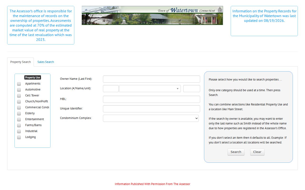
The screen confirms that location, owner, MBL, and Unique ID are the practical parcel keys after a postal address is checked.
| Portal field | Use in a ZIP workflow | Limit |
|---|---|---|
| Location number, street, unit | Find the parcel after USPS validation | Requires the portal's street spelling |
| Owner name | Connect a named owner to a result | Owner is not necessarily an occupant |
| MBL | Use the map-block-lot parcel key | Not a mailing code |
| Unique ID | Return to the same parcel card | Portal-specific identifier |
| Property use | Narrow parcel type | Does not identify a household |
| ZIP | Not available in the inspected assessor search | Use USPS for mail geography |
The GIS viewer can add shape and service context after the parcel is found. Its live, JavaScript-driven layer details were not fully verified during research, so it should not be described as offering a ZIP boundary tool. Keep the assessor, GIS, and USPS tasks separate.
ZIP-Capable Watertown Credential Lookup
The Connecticut eLicense portal is the strongest inspected official search with a ZIP field. It can combine ZIP with credential type, number, status, business or DBA name, first and last name, address, state, city, country, and specialty choices. The portal says its data updates instantly. It covers more than 850 credential types across participating state agencies.
View the ZIP-capable eLicense source in the captured screen.
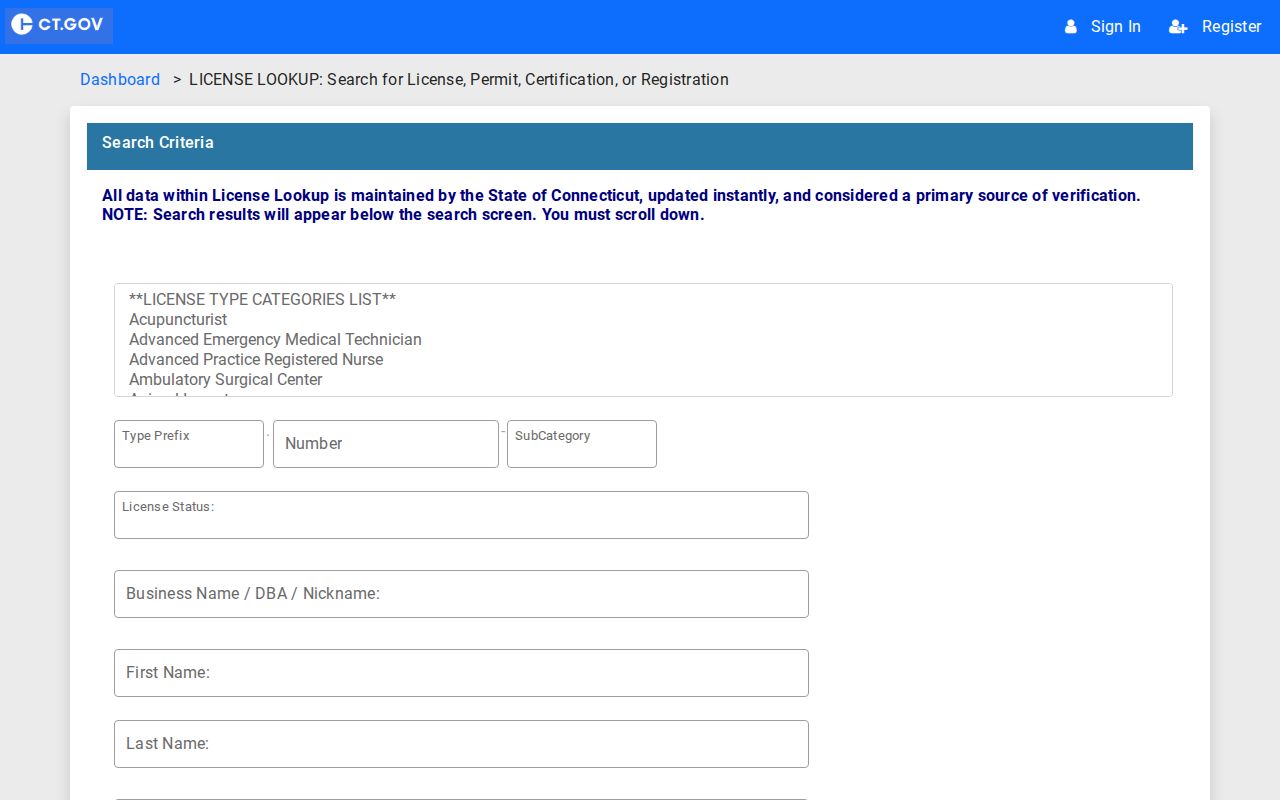
The ZIP box narrows a credential address. It does not make the result a Watertown household or parcel list.
A listed address may be a business, practice, or mailing location. Record the credential number, status, and search date. If the goal is parcel ownership, return to the assessor. If the goal is mail delivery, return to USPS. Matching the tool to the question avoids false claims about residence.
Compare Watertown Map Geographies
USPS, the assessor, GIS, voter records, and utility maps divide the same place for different tasks. USPS directs mail. The assessor identifies taxable parcels. GIS draws mapped features. Election officials organize voters by town and polling geography. Watertown water materials identify Watertown, Oakville, Westgate, and Northern service zones. None of those service labels is a ZIP code.
| Source | Question answered | Not proof of |
|---|---|---|
| USPS | Mailing label and delivery location | Town or parcel boundary |
| Assessor | Parcel, owner display, situs and mailing data | Current household |
| GIS | Mapped parcel and local layers | Postal assignment unless expressly shown |
| Water service map | Utility service zone | ZIP or voter district |
| Voter lookup | Registration and polling response | ZIP-wide resident roster |
The comparison is especially useful on French Street and around Oakville institutions, where an Oakville postal label can coexist with Watertown government and utility records. Keep the label from each source rather than forcing all records into one geographic field.
Watertown ZIP Codes Versus Town
A ZIP code is delivery geography, not the Town of Watertown boundary, a tax district, parcel line, voter district, or school district. Oakville's 06779 does not create a second municipality. Likewise, the 06795 label does not prove that every matching address sits on a Watertown parcel. The correct method is to validate mail with USPS and municipal location with the assessor or Town GIS.
- ZIP versus ZIP+4
- A five-digit ZIP names a delivery area; four added digits narrow a delivery segment.
- PO-box ZIP
- A code or assignment used for post-office boxes rather than a mapped town boundary.
- Unique ZIP
- A code assigned to one high-volume organization; none was verified for Watertown.
- Carrier route
- A mail-delivery path inside a ZIP, not a parcel or municipal district.
No official street-by-street ZIP boundary map, local realignment year, or unique ZIP was verified for Watertown. That gap should remain explicit. A commercial radius map cannot fill it with official authority.
Trace Old Watertown ZIP Labels
Historical resident work predates or ignores modern postal formatting. Watertown appears in regional Waterbury directories, and local newspaper or yearbook entries may say Oakville without a modern ZIP. Write down the original town, village, street spelling, abbreviation, and house number before searching a current system. That record of the old form guards against a false modern match.
Next, compare the old entry with a current assessor street, parcel identifier, deed legal description, or dated map. If the street number changed, do not repair it from memory. No verified Watertown renumbering history surfaced in the research. The History Museum, Watertown Library, and Connecticut State Archives are the appropriate fallbacks for a dated local label.
Note: A directory address is a dated association and may describe a person, boarder, business, or prior occupant rather than a present resident.
Use Watertown ZIP Results Carefully
A ZIP code directory should reduce ambiguity, not expose a block list. Connecticut's voter lookup requires a town, name, and full birth date, while the public response limits personal details. The state's Safe at Home and voter privacy programs can protect an address or voter record. A missing result may reflect a lawful safety measure, spelling difference, or portal scope.
Respect privacy. Use ZIP and address records for lawful personal research, and never use them to stalk, harass, intimidate, or harm anyone.
Save the source, access date, and exact field that produced a match. An eLicense ZIP identifies a listed credential address. An assessor result identifies a parcel and owner display. USPS identifies delivery. None, alone, proves who currently lives at the address.